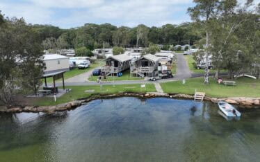
Restoring the Banks of Waterways in the Shoalhaven Region
Assess the extent of bank erosion and determine the feasibility of bank treatment options...
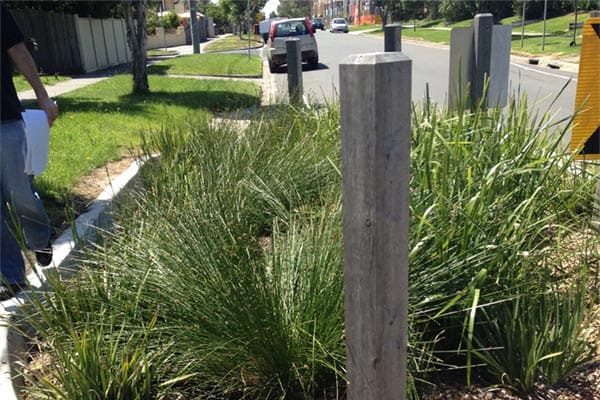
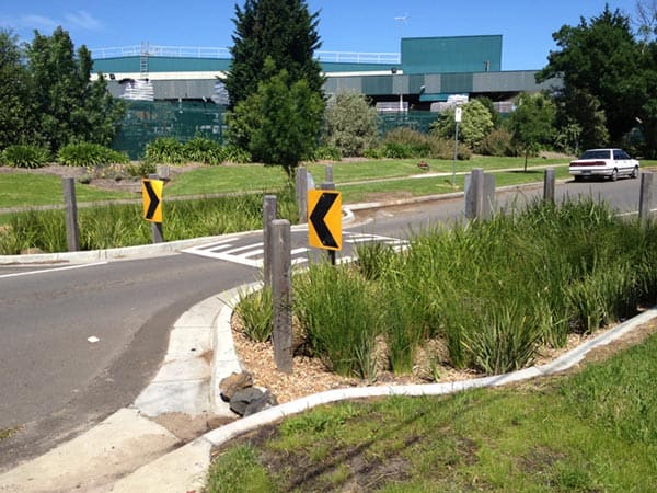
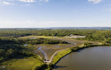
Water Technology was commissioned by the City of Kingston to complete Flood Mapping across numerous catchments within the Municipality. Water Technology worked in close collaboration with council and combined the invaluable local knowledge of Council officers and the community, with state-of-the-art and innovative hydraulic modelling techniques. This provided robust and defendable deliverables to inform the decision making process within Council.
The study allowed for an improved understanding of the existing flood risk within the municipality. Council officers were educated in the mechanisms of flooding within their municipality in order to deliver a customer education solution along with traditional engineering mitigation solutions. Education is seen as one of the most powerful methods of engaging the community and minimising flood risk. By utilising the knowledge of council officers, model development was streamlined and outputs were more credible and readily accepted by both council and the community.
To undertake hydraulic flood modelling of multiple catchments in Kingston and complete flood mapping to improve the understanding of flood risk for the community
Kingston Victoria
City of Kingston
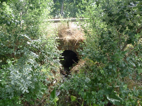
Assess the extent of bank erosion and determine the feasibility of bank treatment options...
Assess the extent of bank erosion and determine the feasibility of bank treatment options...
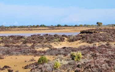
Assessing the potential for restoration of a coastal wetland ecosystem...