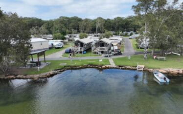
Restoring the Banks of Waterways in the Shoalhaven Region
Assess the extent of bank erosion and determine the feasibility of bank treatment options...
The former Rum Jungle mine site is located 105km by road south of Darwin, near Bachelor in the Northern Territory. Uranium, copper, nickel and lead were mined and processed at various times between 1934 and 1971. The mining operations led to significant environmental impact within and downstream of the site, primarily from the long-term generation of acid and metalliferous drainage (AMD).
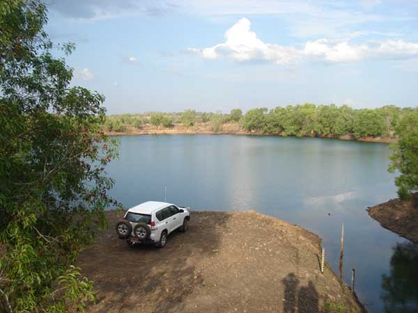
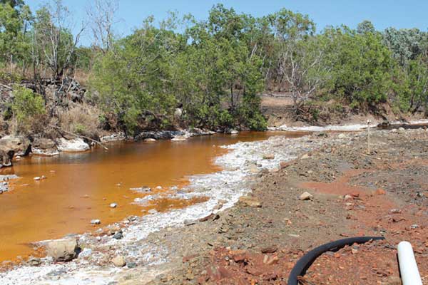
In 1982, an $18.6 million financial assistance agreement was established between the Commonwealth and Northern Territory Governments for the Territory to rehabilitate the site. Rehabilitation was followed by environmental monitoring programs, which spanned 12 years. At the time, the Rehabilitation Project’s objectives were considered to have been achieved. However, recent studies have documented the gradual deterioration of those original works.
In 2003, the former Department of Infrastructure, Planning and Environment and the former Department of Industry, Tourism and Resources entered into a Memorandum of Understanding to better define the current state of the environment at the site. On 7 October 2009, the Northern Territory and Commonwealth Governments entered into a National Partnership Agreement (NPA) on the management of the former Rum Jungle mine site. The Department of Mines and Energy (DME) is responsible for the overall management and coordination of projects to achieve the objectives and outcomes of the NPA which include site maintenance activities, environmental monitoring programs and investigative studies to develop an updated site management and rehabilitation strategy for the site by mid-2013.
Assess the extent of bank erosion and determine the feasibility of bank treatment options...
Assess the extent of bank erosion and determine the feasibility of bank treatment options...
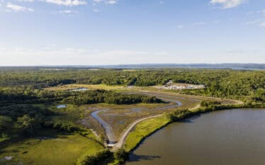
Assessing the potential for restoration of a coastal wetland ecosystem...