Koala Habitat Mapping
Review of existing data and undertaking field surveys to identify areas of known core and potential koala habitats to enable conservation efforts...
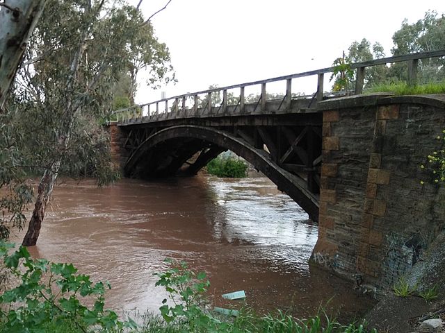
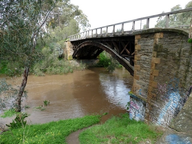
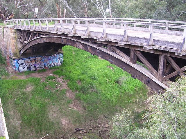
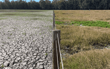
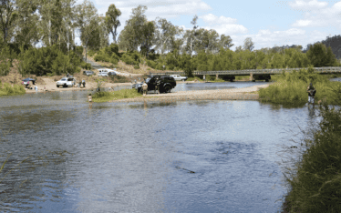
This project involved developing and modelling flood mitigation strategies to deal with the high risk of flooding of the townships of Two Wells, Virginia and Gawler and the high value horticultural areas of Northern Adelaide.
Flood mitigation strategies were developed through a combined technical and community reference group process, which stepped people through the technical and social issues that also needed to be addressed by the mitigation strategies.
Services provided:
Floodplain Assessment and Mapping
GAWLER South Australia
GAWLER RIVER FLOODPLAIN MANAGEMENT AUTHORITY

Review of existing data and undertaking field surveys to identify areas of known core and potential koala habitats to enable conservation efforts...
Extensive and ongoing field studies to map the distribution and cover of threatened wetland-dependent species and trial of propagation methods...
The water quality of the Brisbane River can be improved through management of popular recreation sites along the River...